
HoloMaps App
Holographic 3D terrain visualisation.
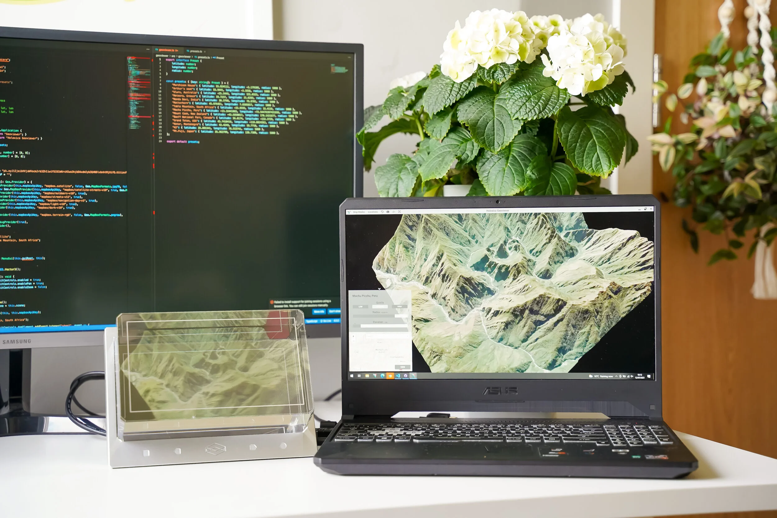
HoloMaps allows the user to instantly build a 3D map from anywhere on the globe and explore it on the Looking Glass light field display as a dynamic holographic image. The software allows users to visualise terrain elevation naturally, and fully understand the context of the selected location. Various layers such as height contours, infrastructure, traffic, and labelled satellite data are supported to allow for a variety of use cases. HoloMaps helps with digital 3D immersion in a synthetic environment for situational awareness and geospatial data.
How does it work?
HoloMaps requests data from various map providers to construct a 3D representation of the terrain at any given location. With a Looking Glass connected, this data is then simultaneously rendered in natural, glasses-free 3D. An embedded mini-map has been designed to allow the user to select any point on the planet and build the terrain in a single click, or type any query into the integrated search bar.
We can overlay live information from sensors, drones, etc. or planned developments on top of terrain data to enhance project and reporting or for live 3D situational awareness, such as e.g. resilience operations (think flooding, fire, etc) or for real-time data coming in for smart cities.
This experimental software is available to our partners and customers. Please contact us for more info.

Uluru, Australia shown on the Looking Glass 32 inch 8K light-field display running on Holoxica’s HoloMaps app.
